Urban Mobility Corridor Bistrita
Feasibility study for the creation of a sustainable urban mobility corridor in Bistrita, integrating public transport, cycling infrastructure, and enhanced pedestrian networks.
Year
2023
Location
Bistrita Municipality, Bistrita-Nasaud County
Area
85,000 sqm
Category
Urban Mobility
Mobility Analysis and Strategic Framework
Bistrita Municipality, as a regional growth pole, faces significant challenges in the domain of urban mobility: peak-hour traffic congestion, a high proportion of private car trips, and insufficient infrastructure for alternative transport modes. The city's Sustainable Urban Mobility Plan (SUMP) identified the necessity of creating a multimodal corridor connecting the principal traffic generators.
The proposed mobility corridor extends over a length of 8.5 km, covering an intervention area of approximately 85,000 sqm. The route connects the northern industrial zone with the civic centre and southern residential districts, traversing the city's principal transport nodes.
The feasibility study, with a total project value of 205 million RON, analysed three intervention variants, recommending the integrated solution combining dedicated public transport lanes, bidirectional cycling tracks, and widened pedestrian spaces.
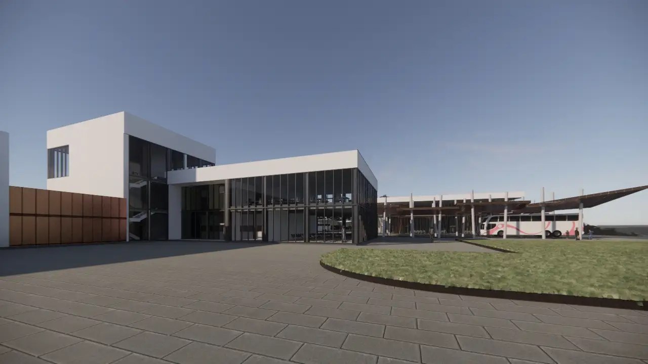
Public Transport and Dedicated Infrastructure
The public transport component of the project provides for the development of 4.2 km of dedicated bus lanes, physically separated from general traffic through special kerbs and corresponding vertical and horizontal signage. The 18 bus stops along the corridor will be modernised with climate-controlled shelters, real-time information panels, and contactless payment systems.
The traffic signal priority system for public transport, implemented at all 22 corridor intersections, is projected to reduce average bus journey times by an estimated 30%. Depot infrastructure will be modernised to support the fleet's transition to electric buses, with 8 rapid charging stations integrated along the corridor route.
Intermodality is ensured through 3 transfer hubs, where passengers can transfer between public transport, shared bicycles, and electric car-sharing vehicles.
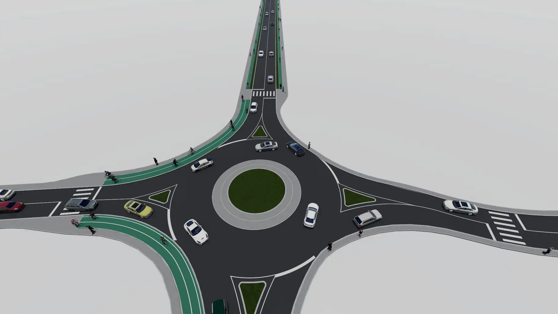
Cycling Infrastructure and Active Mobility
The cycling network proposed within the corridor totals 17 km of bidirectional tracks, designed in accordance with Dutch CROW standards with a minimum width of 3.5 metres. Tracks are separated from motorised traffic through buffer zones of minimum 0.5 metres, planted with low vegetation.
The project includes 12 shared bicycle stations with a total capacity of 240 bicycles, of which 80 feature electric assist. Each station is equipped with self-service repair stations and tyre inflation pumps. Bicycle parking is provided through 400 secured spaces distributed at principal corridor destinations.
Pedestrian infrastructure has been designed with pavements of minimum 2.5-metre width, tactile surfaces at crossings, and access ramps at every intersection, ensuring compliance with universal accessibility requirements.
Environmental Component and Sustainability
The project's environmental impact assessment identified significant CO2 emission reductions through the estimated modal shift from private car to public transport and active mobility. The transport model forecasts a 15% reduction in private car trips within the study corridor by 2030.
Sustainable drainage solutions integrated into the corridor include permeable paving on cycle tracks, bioretention gardens at intersections, and slow infiltration channels on pavements. Public lighting is provided entirely through variable-intensity LED fixtures, powered by 24 photovoltaic panels integrated into bus stop shelters.
Gallery
Discover how our Urban Mobility services made this project possible
This project demonstrates our team's expertise in delivering integrated solutions. Explore the full range of services or discuss a similar project with our team.